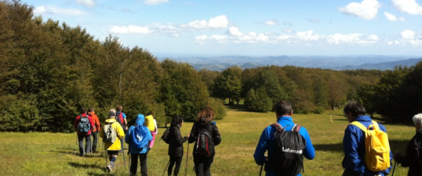
From a historical point of view, Via Longobarda is a route that connected Parma and the entire central Po Valley.
It used the Apennine ridge between the Parma and Baganza streams and went to the Cirone pass (1255 m above sea level) and then descended into the bottom of the Magra valley both in Pontremoli and a little further downstream, in Filattiera.
From here you could continue along the most famous Via Francigena or with internal routes between Lunigiana and Garfagnana towards the sea, Lucca and Rome.
Via Longobarda is dotted with castles, churches and remains of ancient hospitals that confirm its use during the Middle Ages by armed men, merchants, wayfarers and pilgrims.
Along the route you cross two of the Regional Natural Parks managed by the Parks of the Duchy, namely the Parco Boschi di Carrega and the Parco dei Cento Laghi, as well as the National Park of the Tuscan-Emilian Apennines.
The route can be traveled in both directions.
Via Longobarda is divided into 6 stages, described below, and is marked on the territory with vertical signs, trail sign 741. It is also possible to download the free EasyWays App and search for Via Longobarda in the Local Networks section.
Discover it here: ParchidelDucato.it


